GridFinder
Published:
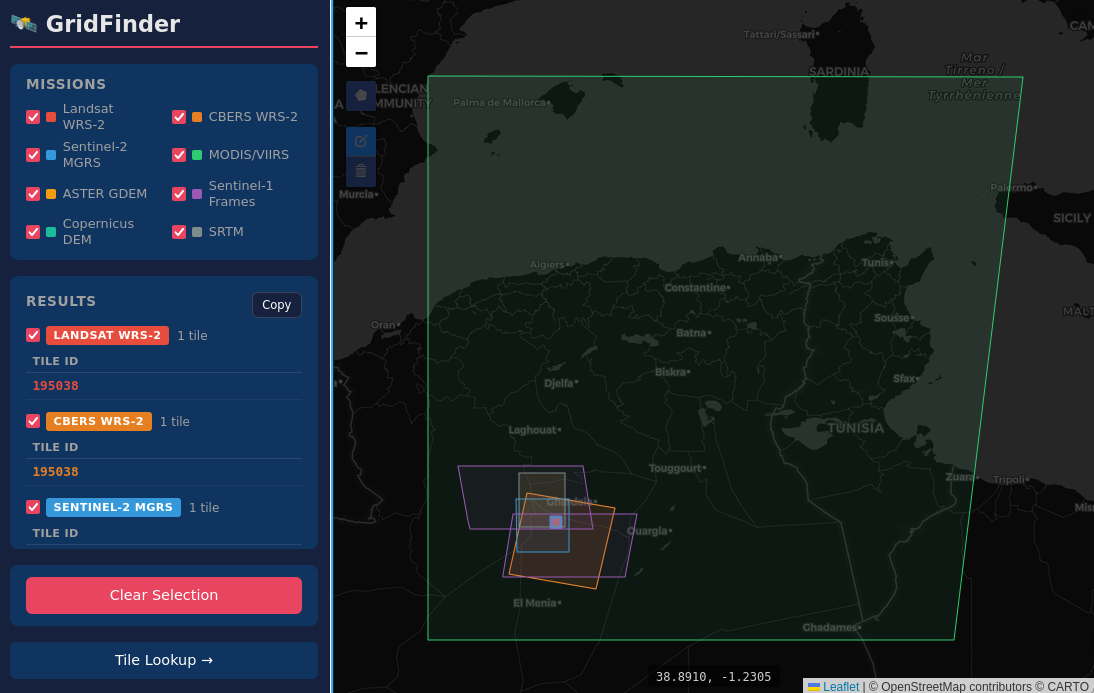
GridFinder is an interactive visualization that helps you quickly see how different satellite missions tile the Earth. It’s useful for picking the right dataset, understanding coverage, and planning analyses.
- Supports 8 missions: Landsat, Sentinel‑2, MODIS, ASTER, and others
- Built as a lightweight, static web app
- Designed for researchers and developers working with geospatial data
Try it here: https://roberto-chang-silva.github.io/gridfinder/